Walk up to the Wilbert Trail trailhead at South Whidbey State Park this month and you'll see the same orange alert sign that's been zip-tied to the post since last October. It says a portion of the trail is temporarily closed for bridge maintenance and points hikers toward Fern Gully or Ridge Loop instead. Eleven months later, the sign hasn't moved, no revised date has gone up, and the detour has quietly become the route.
If you live near Freeland or Langley and treat this park as your default forest walk, you've probably stopped reading that sign closely. But the Wilbert closure isn't an isolated hiccup. It's the newest entry in a pattern this park has been running for over a decade, one where "temporary" almost never turns out to mean what it says.
The Sign That Has Outlasted Its Own Timeline
Washington State Parks posted the Wilbert Trail alert on October 8, 2025, citing bridge maintenance and rerouting foot traffic onto the Fern Gully Trail or Ridge Loop Trail. That notice was still live on the park's official page as of this year, unchanged and unresolved. There's no construction crew visible from the trail, no updated completion window, just the same detour that's been standing since before last winter's storms.
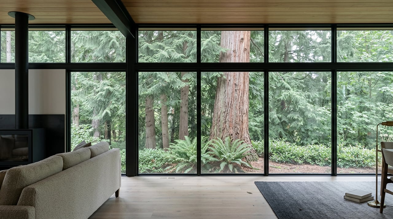
For context, this is the trail that leads to the park's best-known feature: the Ancient Cedar, a Western Red Cedar estimated at 500 years old, sitting at the start of the Wilbert loop inside what park staff call the "floating forest," a stretch of old growth where water moves visibly through the forest floor. That tree is still reachable. The full Wilbert loop around it is not, and hasn't been for the better part of a year.
Two Older Closures Already Set the Pattern
Before the Wilbert sign ever went up, the park had already lived through two closures that were framed as short-term and settled into something closer to permanent.
The campground closed in May 2015 after officials found tree rot throughout the old-growth stands ringing the sites, a safety issue rather than a budget one. When Washington State Parks completed its long-range planning process for the park two years later, the agency's area manager at the time, Jon Crimmins, was blunt about the cause in an interview with the South Whidbey Record:
"It's not a staffing issue, it's the trees. That's 100 percent of the reason for closing."
The same planning document recommended converting the roughly 20-acre campground to day-use only for good. Walk the old campground loop today and you'll find exactly that: a paved road with no campsites in use, sometimes described by hikers as a kind of ghost campground, still open to bikes and foot traffic but never again to tents.
Beach access followed a similar arc. Bluff erosion has washed out the stairs down to the shoreline repeatedly, and rebuilding them has never held. Crimmins told the Record the fix wasn't complicated or expensive, just futile against the bluff itself: "I don't think it's a financial issue, it's a nature issue." A Washington Trails Association trip report from January 2025, nearly a decade after the erosion problems first surfaced, confirms the obvious follow-through: there is still no beach access at South Whidbey State Park.
Here's the shape of it laid out plainly:
| Feature | Current status | Closed since |
|---|---|---|
| Wilbert Trail (bridge section) | Detour via Fern Gully or Ridge Loop | October 2025 |
| Campground | Day-use only, no overnight camping | May 2015 |
| Beach stairs | Closed indefinitely, bluff erosion | Roughly a decade |
| Ancient Cedar, Fern Gully, Ridge Loop, Hobbit Trail | Open | Ongoing |
Three separate closures, three separate causes, one consistent result. Nothing here reopens on the timeline first announced.
The Walk Worth Doing This Weekend
None of this makes the park less worth visiting. It just means planning around what's actually walkable rather than what the map used to show.
The park splits across both sides of Smugglers Cove Road at 4128 S Smugglers Cove Road in Freeland. The east side holds the longer routes and the old growth, where you can still reach the Ancient Cedar and loop back through Fern Gully or Ridge Loop even with the Wilbert detour in place. The west side is shorter and better suited to families or a dog walk on a weeknight, anchored by the Hobbit Trail, where local students built the Earth Warrior Course years ago and it's still there for kids to climb through on the way past the moss-draped understory.
Bring a Discover Pass, since it's required for parking at any Washington state park including this one. And don't be surprised if a jet passes low overhead. The park sits close enough to Naval Air Station Whidbey Island that training flights are a normal part of the soundscape here, not a rare interruption.
What you won't find, no matter which loop you pick, is a way down to the water or a spot to pitch a tent. Those two options left the park around the same time and neither has come back.
Why "Temporary" Rarely Sticks Here
The through-line across all three closures is that nature, not funding, has driven every decision. Rotting trees closed the campground. Eroding bluffs closed the beach. And while state parks hasn't said publicly what's holding up the Wilbert bridge repair, the pattern here suggests it's unlikely to be a simple fix on a simple schedule. Parks built into old growth and shoreline bluffs answer to slower, less predictable forces than a construction crew's calendar.
That's worth knowing if you're the kind of resident who checks the trailhead sign once and then just goes based on memory. At South Whidbey State Park, the safer assumption isn't that a posted closure will lift soon. It's that whatever's closed today might just be how the park works from here on out, the same way the beach stairs and the campground already are.
The forest itself hasn't changed. The cedar is still five centuries old, the floating forest still floats, and the loop from the west-side parking area to the Hobbit Trail still takes about the same twenty minutes it always has. What's changed is which parts of the map you can trust, and for how long.
If you're weighing what it's like to actually live near a place like this, not just visit it, that's the kind of texture no listing photo can show you. Team Langley spends as much time walking these trails and talking to neighbors as we do writing offers, because understanding how a place actually works day to day is what makes the difference when you're ready to make a move here. Start your island story — schedule a consultation.